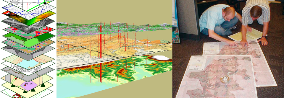
The way we produce oil and gas is changing rapidly; the only component of the industry changing more rapidly is how assets are managed. Utilizing the interactive features of ESRI’s ArcGIS allows our GIS Analysts to bring your “old paper maps” into the digital age. We combine ESRI’s latest mapping software with our land expertise to take your projects to the next level.
Please call for more information. (918) 794-0557
- Pipelines
- Easements and Permits
- Acreage Status
- Production
- Geologic
- Investor Maps
- Legal Exhibits
- Asset Management
- Etc…